


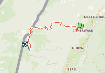

4,9 km | 11,5 km-effort

Tous les sentiers balisés d’Europe GUIDE+


Applicazione GPS da escursionismo GRATUITA
 SityTrail
IGN / Istituti geografici
SityTrail World
Il mondo è tuo
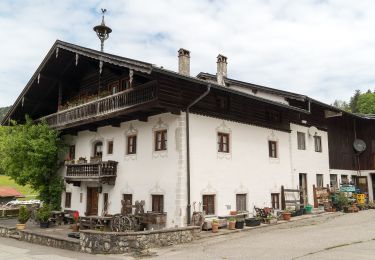
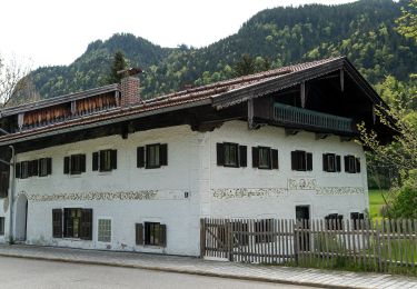
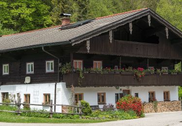
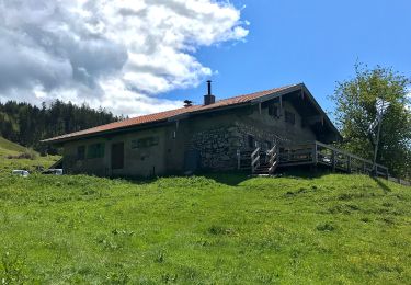
Percorso A piedi di 4,4 km da scoprire a Baviera, Landkreis Rosenheim, Aschau im Chiemgau. Questo percorso è proposto da SityTrail - itinéraires balisés pédestres.
Trail created by Tourist Info Aschau i.Ch..
Symbol: Orange Blechschilder mit der Zahl 8 oder gelbe Wegweisschilder


A piedi
A piedi
A piedi
A piedi
A piedi
A piedi
A piedi

A piedi
A piedi